Hiking to Monte Grona above Menaggio… The thick cloud cover has cleared, and the sun is warming the bright blue sky. It’s going to be a beautiful sunny day today. Great, because today we are putting on our sturdy boots for a hike to Monte Grona. This mountain, with a height of 1,736 meters, is not the highest in the region, but the hike to the summit guarantees beautiful panoramas. And that’s exactly why Monte Grona is very popular among hikers and nature lovers.
We drive by car to Menaggio and from there drive higher via Plesio to Breglia. The small village of Breglia is often described as the starting point of the hike to the summit of Monte Grona. You can consider it as an option, but know that there is another parking lot higher up: this way you save an hour of walking.
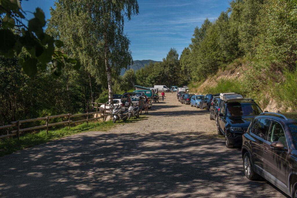
The road winds back and forth, is quite narrow, and in some places unpaved, but driving up should not be a problem. Keep driving until you reach the parking lot. We are lucky and just find one last spot to park the car…
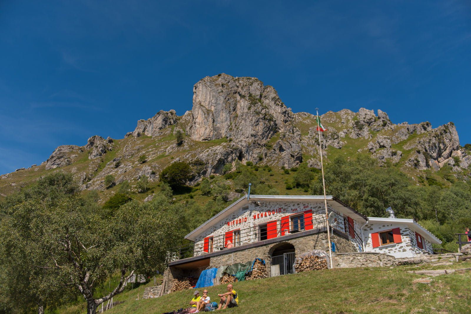
It’s 10:30 when we start. The forest path shows no mercy and immediately makes our calves burn. It goes steeply uphill. Half an hour later we already have a beautiful view of Lake Como and see Rifugio Menaggio in the distance. We keep up the pace and reach the mountain hut fifteen minutes later.
The Rifugio Menaggio is a starting point for various hikes. It’s a coming and going of hikers. There are hikers who come to catch their breath after the effort. And then there are hikers like us who fill up with some spring water from the tap before starting the effort. You can stay overnight in the refuge and have a very limited snack.
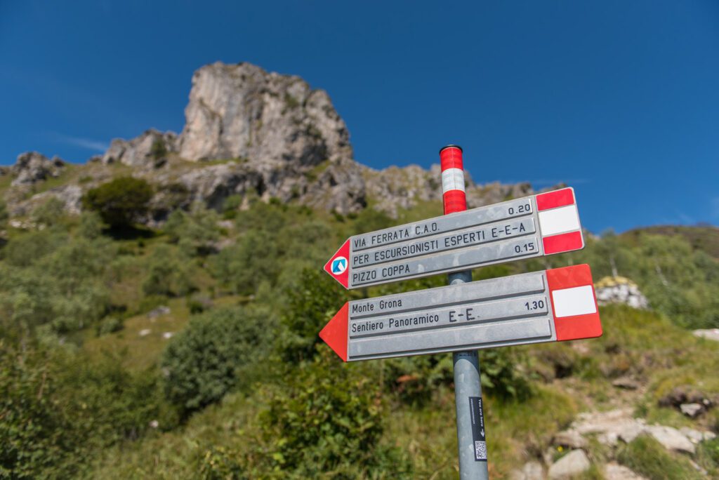
We continue our walk. Just past the refuge, the Monte Grona hike offers a choice: either take the panoramica route along the north side, or the direttissima route along the south side. Both paths merge again at the summit and take respectively an hour and a half or an hour of walking time. The via ferrata is the third option. Quite spectacular, but experience and the right equipment are of course required.
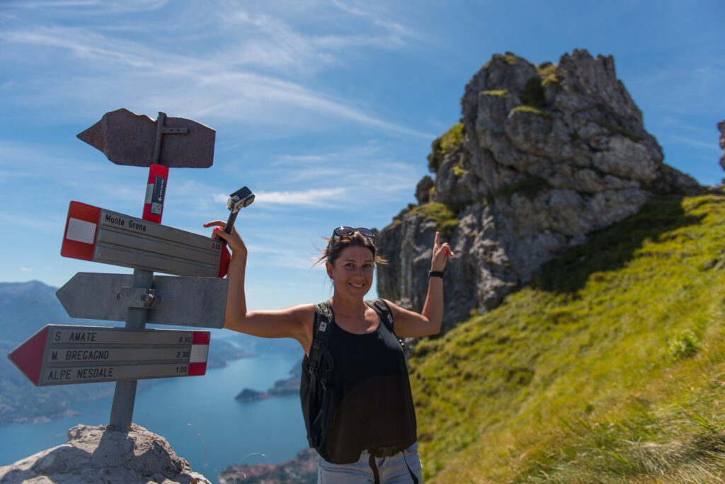
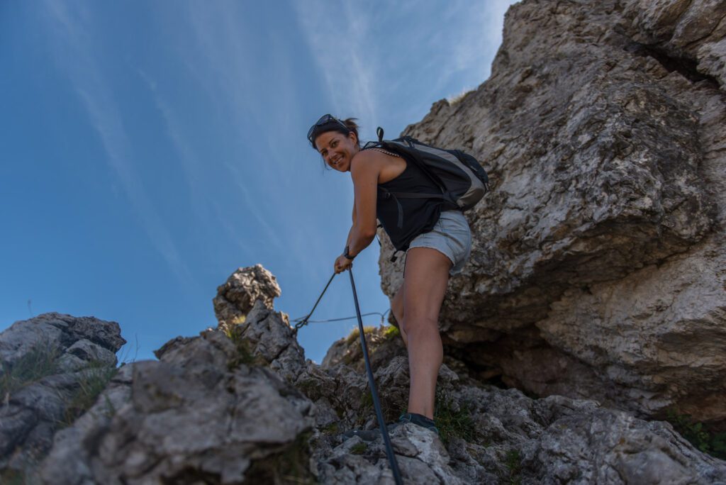
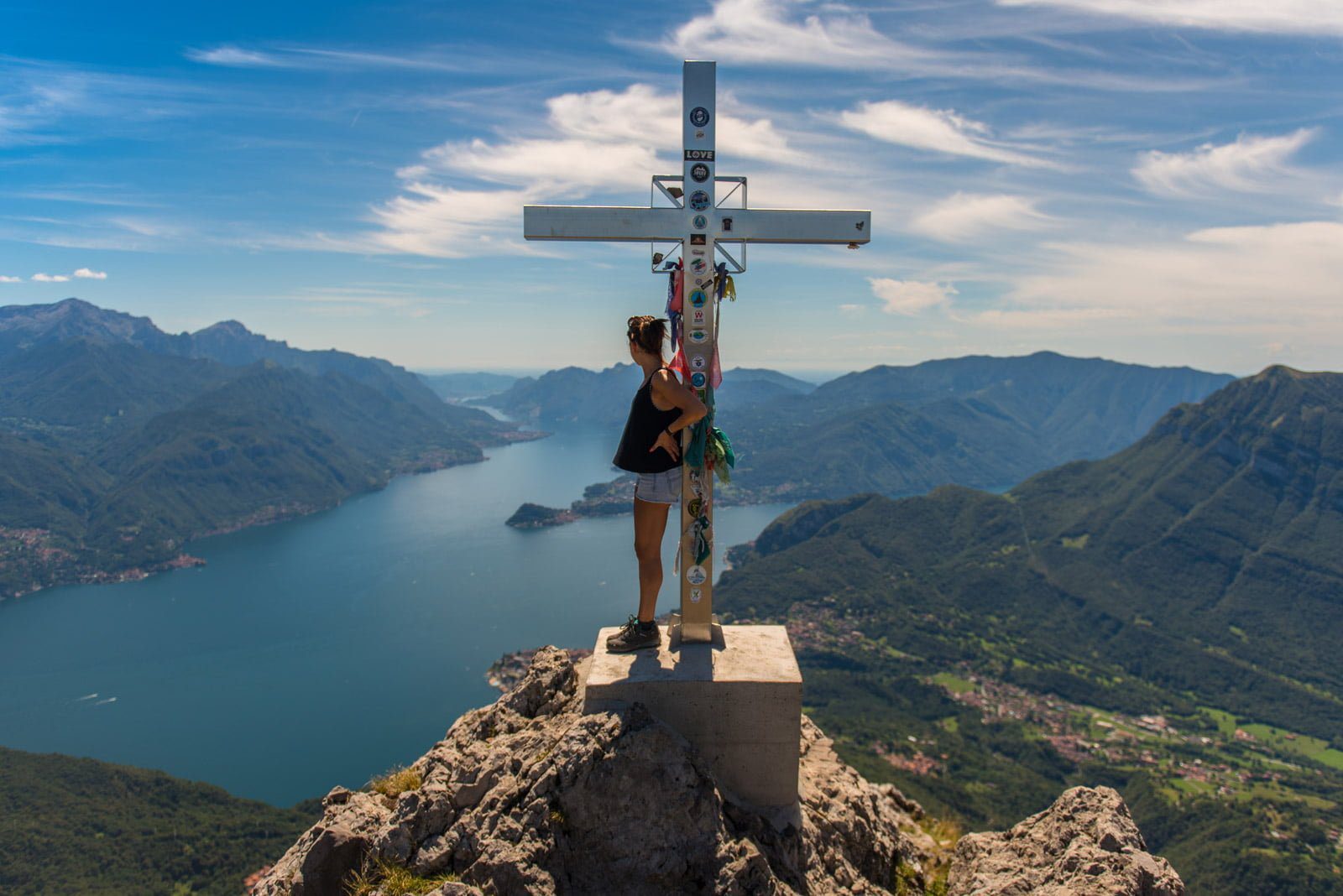
We choose the fast southern route. The path becomes narrower and steeper. In some places, you have to scramble over the rocks on hands and feet. It requires a physical effort. We would not recommend this route for children, hikers with a fear of heights, or hikers without proper footwear. But as far as the panorama is concerned, it doesn’t get any better. Right above us, we see the cross at the summit. Finally, after a little less than an hour of walking, we reach the top of Monte Grona!
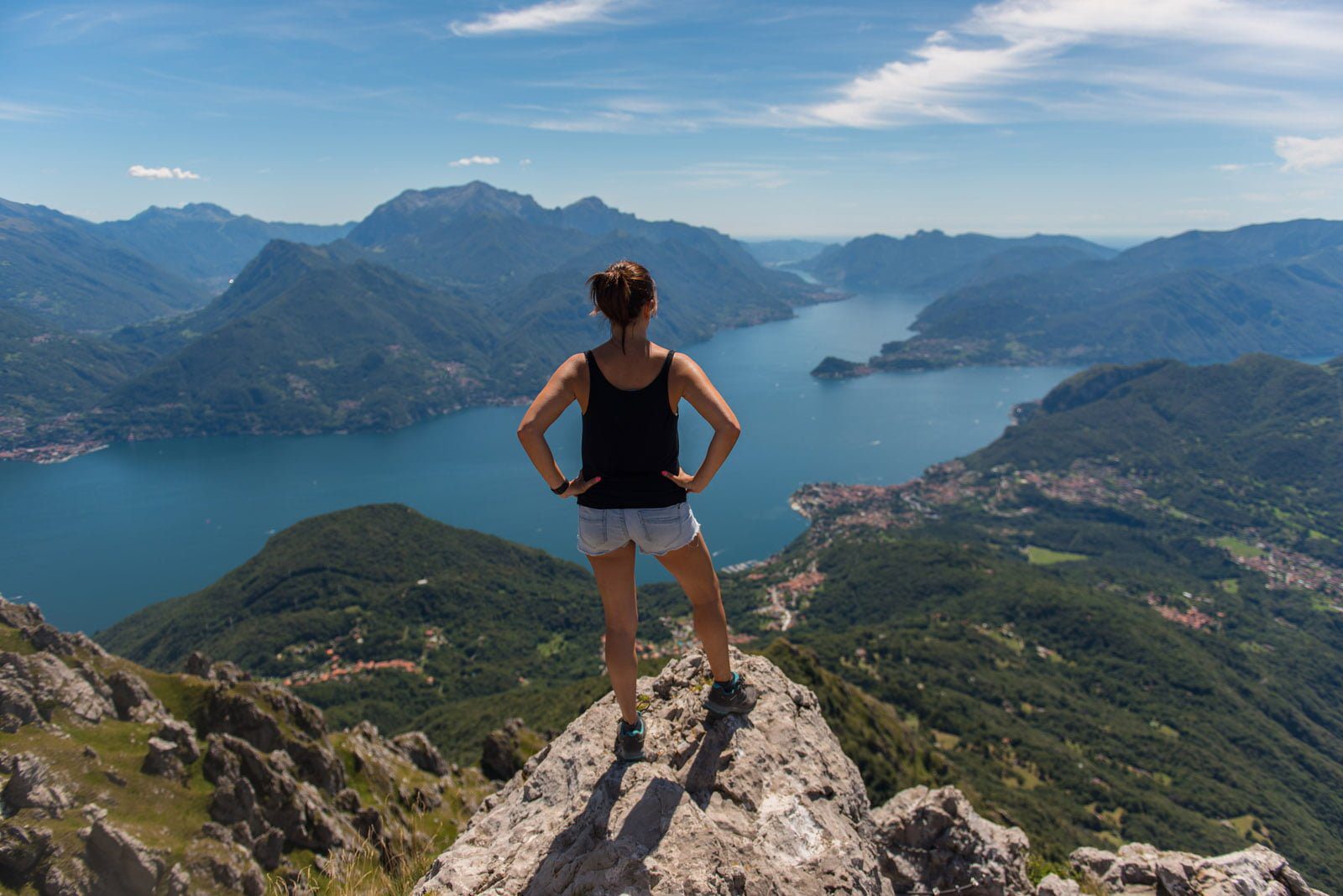
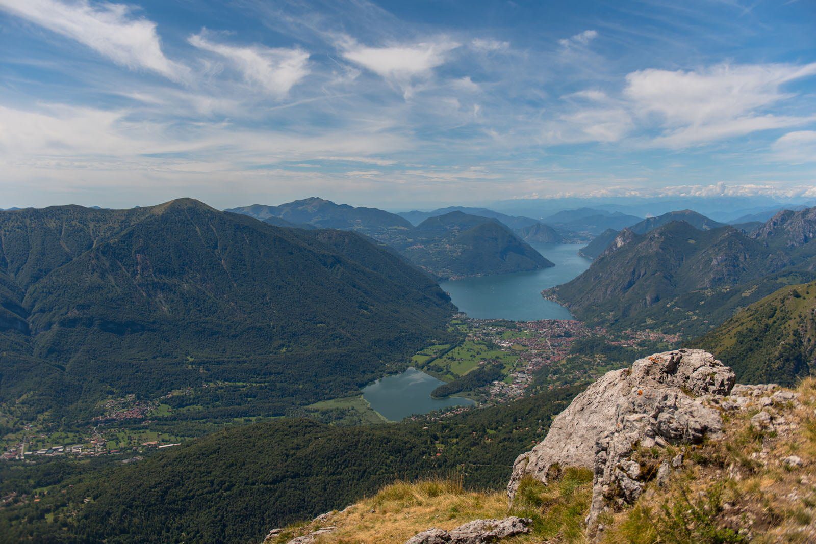
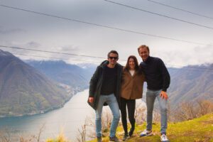
The view is truly magnificent. Right in front of us, Lake Como glistens. A bit more to the right, you can see Lake Lugano. To the left, Monte Legnone towers above all the mountain ranges. The lakes of Lugano and Como almost seem to touch each other. To date, we have found the most beautiful view of the region here. This is undoubtedly a place worth coming to dream away at sunrise or sunset. It’s not unrealistic at all if you stay overnight in the mountain hut. We fill a film roll and let our iPhones capture a beautiful 360° photo. Satisfied, we start the journey back down.
We want to walk down via the panoramica route. However, we are a bit unsure if we are walking the right way (the signs are a bit confusing) and for safety, we choose the direttissima route again. It’s a pity, of course, because this way we can’t tell much about what the hike looks like along the other path.
What we can tell you is that descending via the direttissima is even more challenging than ascending. It’s scrambling again, which takes time. The time savings compared to the other route are probably negligible. So, climb via the challenging path, descend via the longer route. Don’t forget!
It’s 2:30 PM when we get back to the car. Four hours round trip, which we find quite fast. We consciously label the Monte Grona as a mountain hike. A strenuous effort that is rewarded with a fantastic view…
