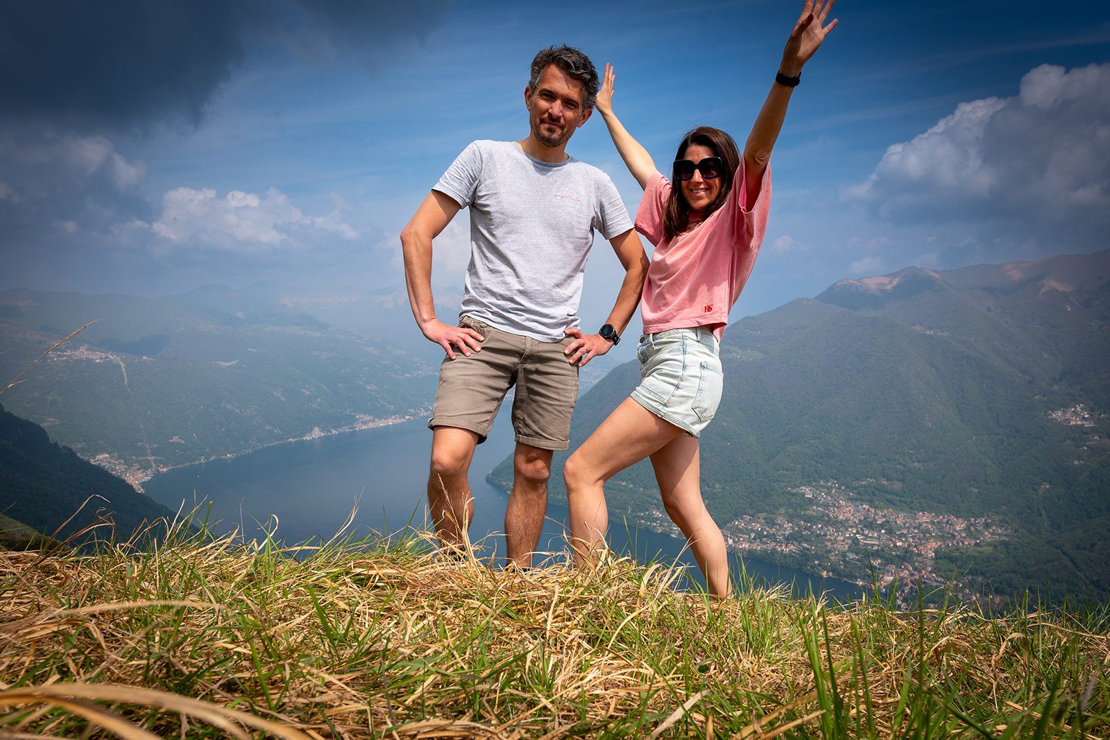
Hiking to Monte Colmegnone and Panorama dalla Piana delle Erbe… Today we lace up our hiking boots for a trek to the summit of Monte Colmegnone. We already know how the day will begin and end: with a glass of prosecco. We are celebrating Liselotte’s 40th birthday, which is also the reason for this cozy getaway for the two of us. And yes, yesterday’s relaxing boat tour with Il Medeghino was certainly enjoyable. For tonight, a romantic table has already been reserved at Gatto Nero. This morning, we raise a toast at the breakfast table of La Locanda del Cantiere to our newly minted forty-year-old.
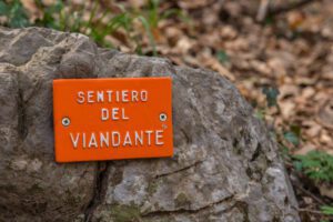
The birthday girl wants to prove today that her fitness level is still as good as ever and is eager to head into the mountains. We consider several options, and eventually choose Monte Colmegnone. This mountain is also known as the Poncione di Laglio and forms part of the mountain range behind Moltrasio, Carate Urio and Laglio. Monte Colmegnone lies along the first stage of the Via dei Monti Lariani, a multi day hiking route that starts in Cernobbio near Como in the south and continues all the way to Sorico at the northern end of Lake Como.
The summit of Monte Colmegnone sits at around 1,383 meters above sea level and promises magnificent views over the central and southern parts of Lake Como. Several hiking routes to the summit start from the surrounding villages of Moltrasio, Carate Urio and Laglio. We set off directly from our hotel and join a mapped-out route we found online, which officially starts at Hotel Bersagliere, more specifically in the hamlet of Germanello.
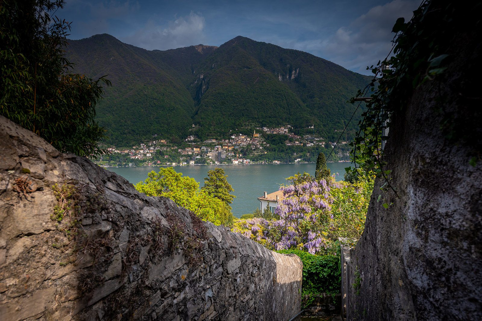
In the higher part of Laglio, known as Germanello, we wander through narrow streets and pathways lined with modest little houses. Do not expect grand villas, lakeside gastronomy, or blooming wisteria here. Following the tight alleyways twisting left and right, we eventually reach a hiking trail that leads us out of Laglio and straight onto the forested mountain slope. We cross a small bridge and keep the Torrente Caraello on our left. This mountain stream flows down from the slopes into Lake Como. During heavy rainfall, the water volume rises dramatically and the stream crashes downhill with tremendous force. To get an idea of what the Torrente Caraello is capable of, just watch this YouTube video. In July 2021, several houses in Laglio were swept away by mudslides and rockfalls, incidentally right next to La Locanda del Cantiere.
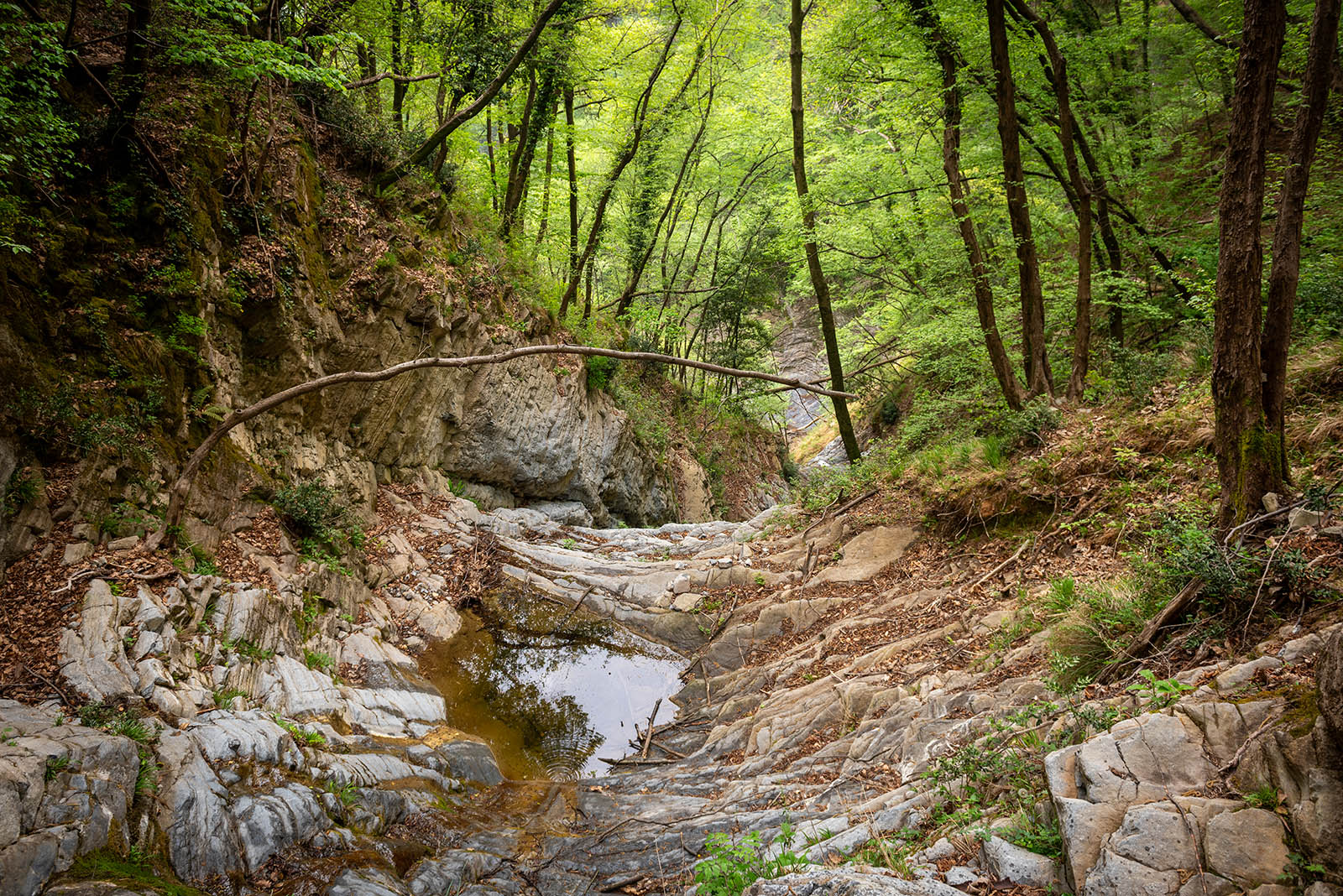
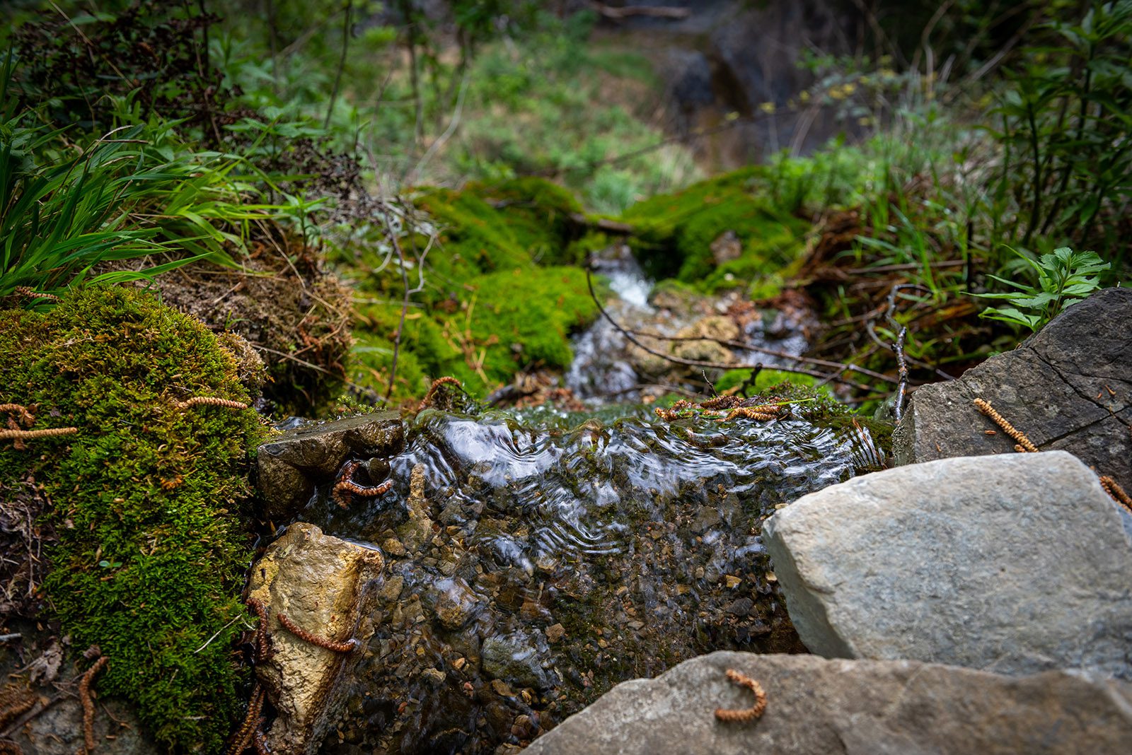
The hiking trail gradually turns into stone steps and quickly gains elevation. Either we are the first hikers of the season, or this route is simply not very popular, because finding the correct track requires some searching. Fallen leaves completely cover the trail. We follow the red markings that guide us past a few abandoned houses and a small chapel at the entrance to the Monti di Germanello. From here, we head left and continue for several hundred meters to a viewpoint overlooking the Torrente Caraello. You will also find an old spring here that flows into a monolithic stone basin. Along the narrow path, the remains of a rotten wooden railing are rather clumsily held together with iron wire. It does not exactly inspire confidence, but it will have to do. The Torrente Caraello may appear harmless as it flows by, yet the heavily eroded rock formations and the wide riverbed reveal the immense natural forces that can rage through this valley.
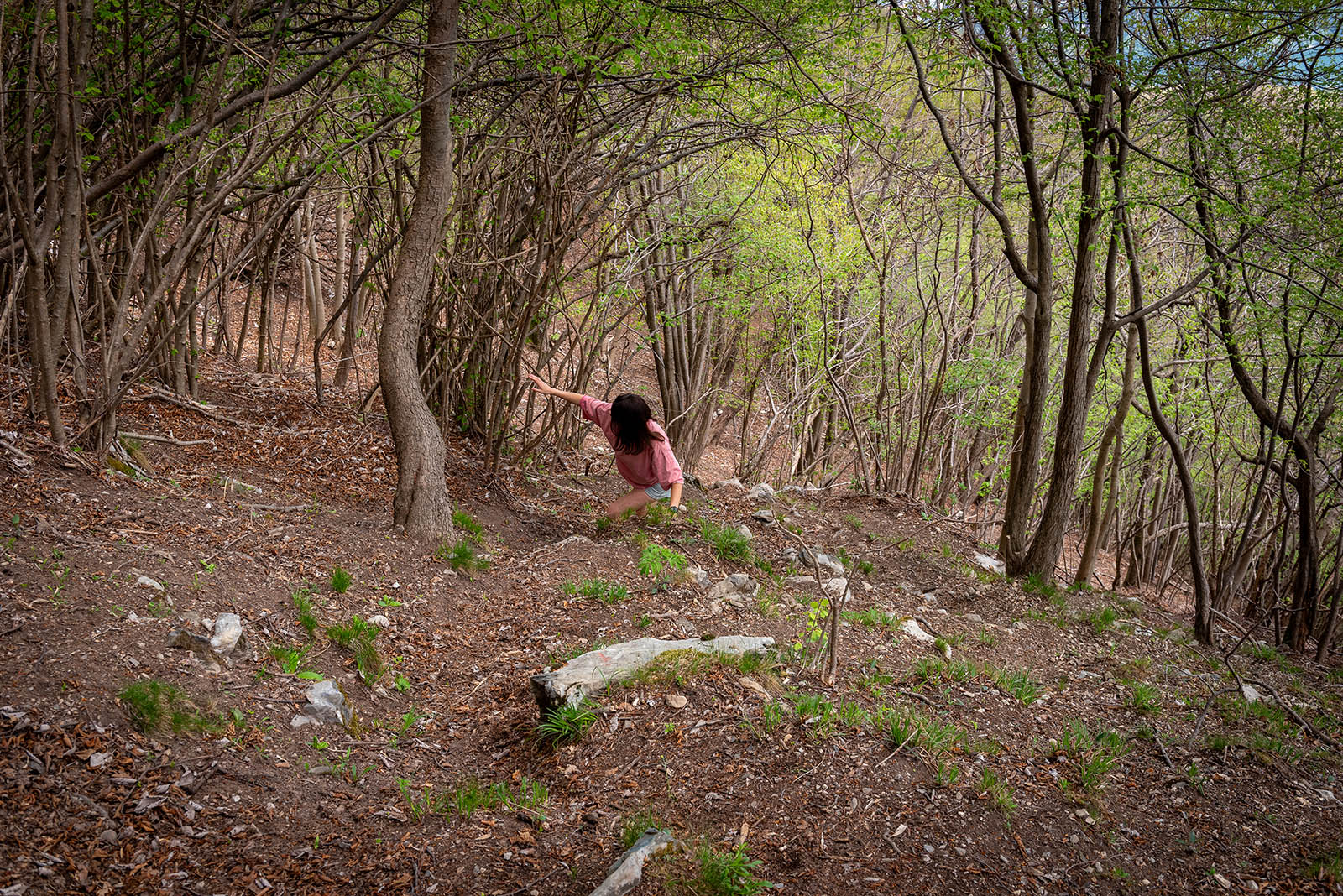
We retrace our steps and continue following the trail as it steadily climbs higher. Suddenly, the forest briefly opens up, offering us a first view of Lake Como, with Careno and Nesso visible to our right. We take a sip of water and enter a mysterious-looking birch forest. From this point on, the challenge becomes spotting the blue trail markers painted here and there on trees and rocks by someone who clearly used paint rather sparingly. The path is quite steep, and roots and stones make the terrain increasingly demanding. Proper hiking footwear is definitely essential here. So far, the balance is mixed: limited views, poor maintenance, and minimal signage.
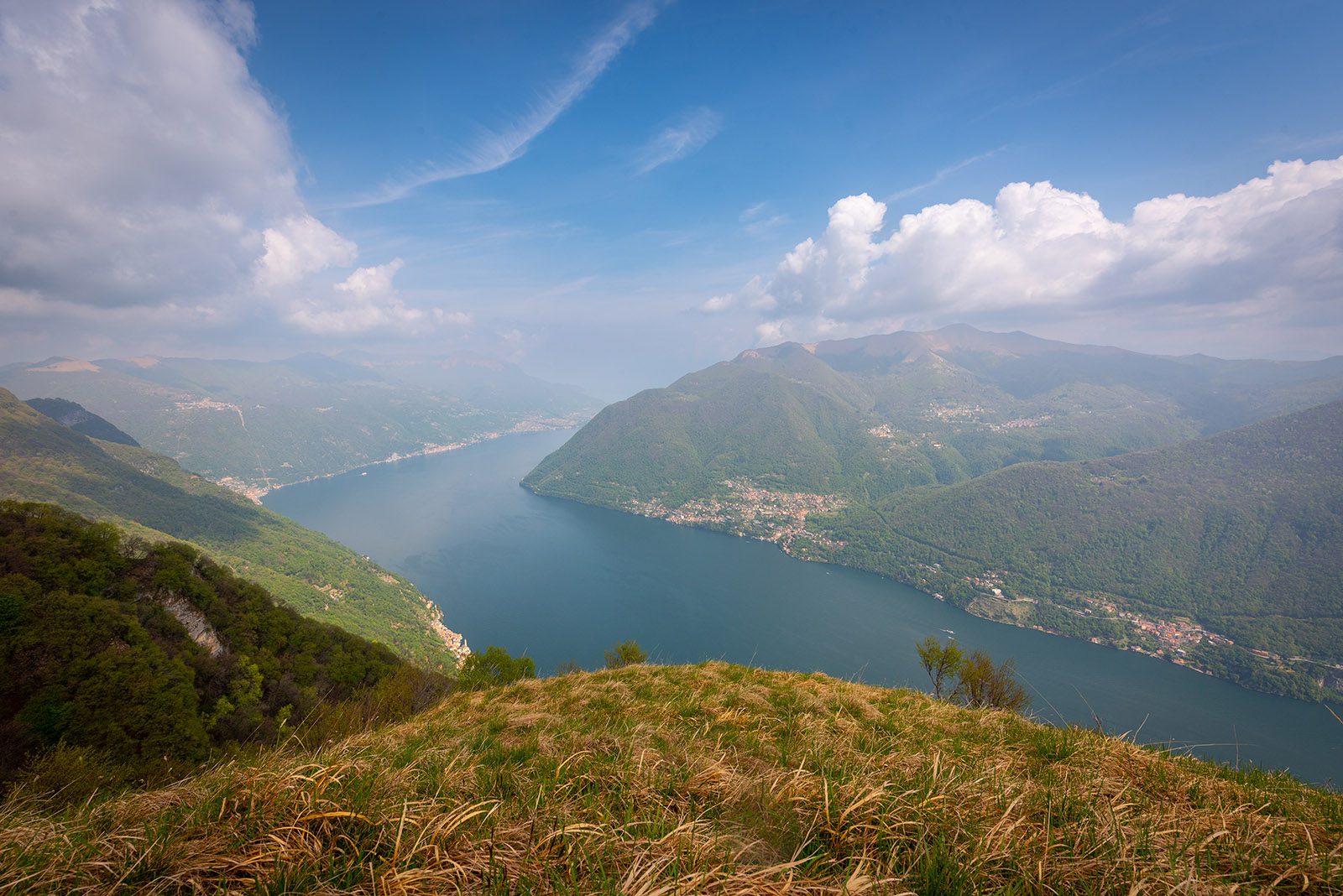
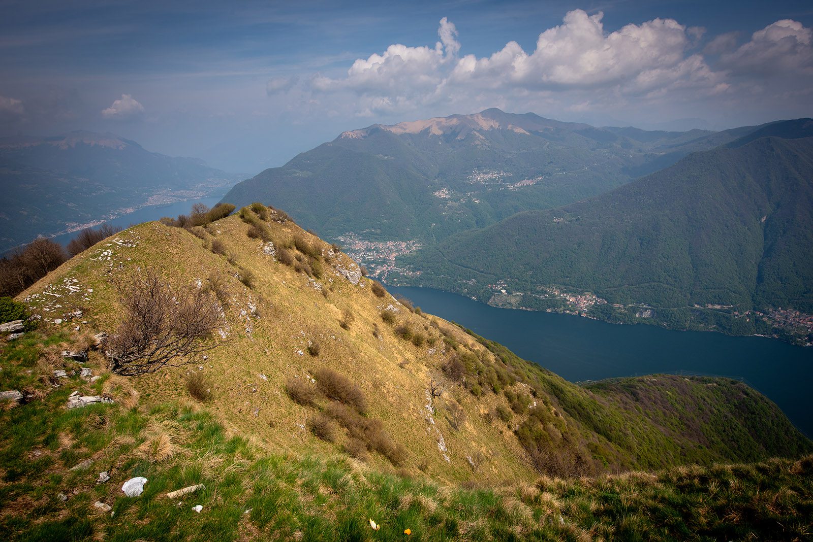
We arrive at an open grassy plateau known as Panorama dalla Piana delle Erbe. What an incredible panoramic balcony overlooking Lake Como. High above the water, we are rewarded with spectacular views over the long southwestern branch of the lake, stretching from Como to Argegno. Instantly, our impression of the hike shifts to overwhelmingly positive. Directly in front of us lies Pigra, easily recognizable thanks to the funivia climbing in a straight line up the mountainside. We look out over Brienno, Nesso and Monte San Primo. Seaplanes fly beneath us in formation. We sit down for a while and enjoy our lunch in the warm sunshine. The mountains surrounding Lake Como continue to surprise us time and time again.
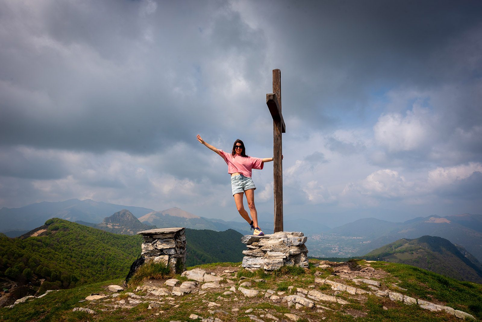
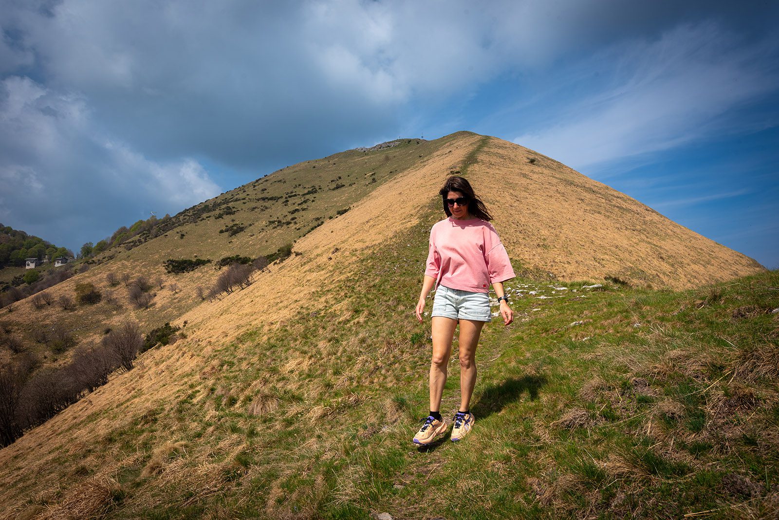
We continue hiking and scrambling through the tall grass. One tick after another has to be pulled from our clothes. For one final time, we disappear into the forest before reaching the last section of the hike, which follows the mountain ridge with beautiful views of the surrounding peaks on both sides. We are now above the tree line, and the scenery opens up completely. In the distance, we spot the cross on the summit of Monte Colmegnone and two hikers, the only people we encounter during the entire walk.
We reach the summit feeling satisfied. We have climbed around 1,200 meters of elevation over a distance of barely 5 kilometers. A serious amount of uphill hiking.
Monte Colmegnone initially seemed more accessible to us as well, given its relatively modest elevation compared to peaks such as Monte Legnone. But once you start from the shores of Lake Como, the trail climbs relentlessly up the slopes of what was once a glacier. Make sure to bring plenty of water and food, and allow yourself enough time to stop and fully enjoy the surroundings.
We take in the fantastic views over the southern branch of Lake Como, surrounded by mountain ranges that appear slightly hazy in the warm weather. Above us, gliders circle through the sky. On the other side of the ridge lie Rifugio Murelli and Agriturismo Roccolo San Bernardo just below the summit. If you want, you can always walk over there and take a well deserved break with a drink.
This hike forms a loop. We begin our descent and once again disappear into the forested mountain slopes. What goes up must come down. Before long, the strain on our thighs and toes starts to build. The descent is steep and feels rather uncomfortable at times. We are so focused on our footing that we almost literally bump into a herd of wild chamois. These animals, or camosci as they are called here, seem to thrive on Monte Colmegnone with its steep slopes, rocky terrain, open grassy areas and minimal disturbance. But we encounter even more wildlife along the way. We spot three snakes disappearing between the rocks. And as the final surprise, a wild boar suddenly crosses the path below us together with her three piglets. We arm ourselves with a stick and a large stone and continue carefully down the trail.
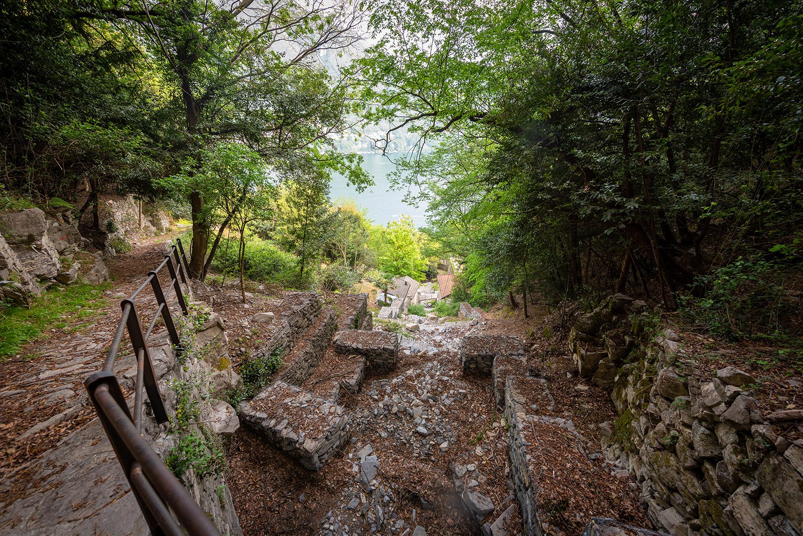
The hiking trail gradually turns into stone stairways and old retaining walls, carefully constructed paths leading to Monti di Nar, an ancient mountain settlement above Laglio. The word Monti does not refer to the mountain itself, but to the seasonal mountain farms where shepherds and farmers once stayed during the summer months when they moved their livestock to higher alpine pastures such as Piana delle Erbe. Today, only abandoned huts with collapsed roofs remain. Every now and then, however, one small house catches the eye, lovingly restored by some patient recluse seeking solitude in the mountains. You cannot help but admire the people of the past who built these settlements and pathways entirely by hand.
The trail continues winding downhill and, via Ticée, another tiny hamlet of Laglio with its little village gardens, we eventually return to Germanello. Damn, those toes are really starting to hurt. It is definitely time to bring this hike to an end. We have been walking for around four hours, not counting all the stops we made to enjoy the scenery along the way. And surely, that deserves a reward? Of course! We manage to find a spot on the terrace of Da Luciano and order ourselves a well deserved Aperol.